The main GEOGLAM RAPP product is a map, a web-based tool incorporating various data to report on status about global rangelands and pastures.
The objectives of this online platform is to provide:
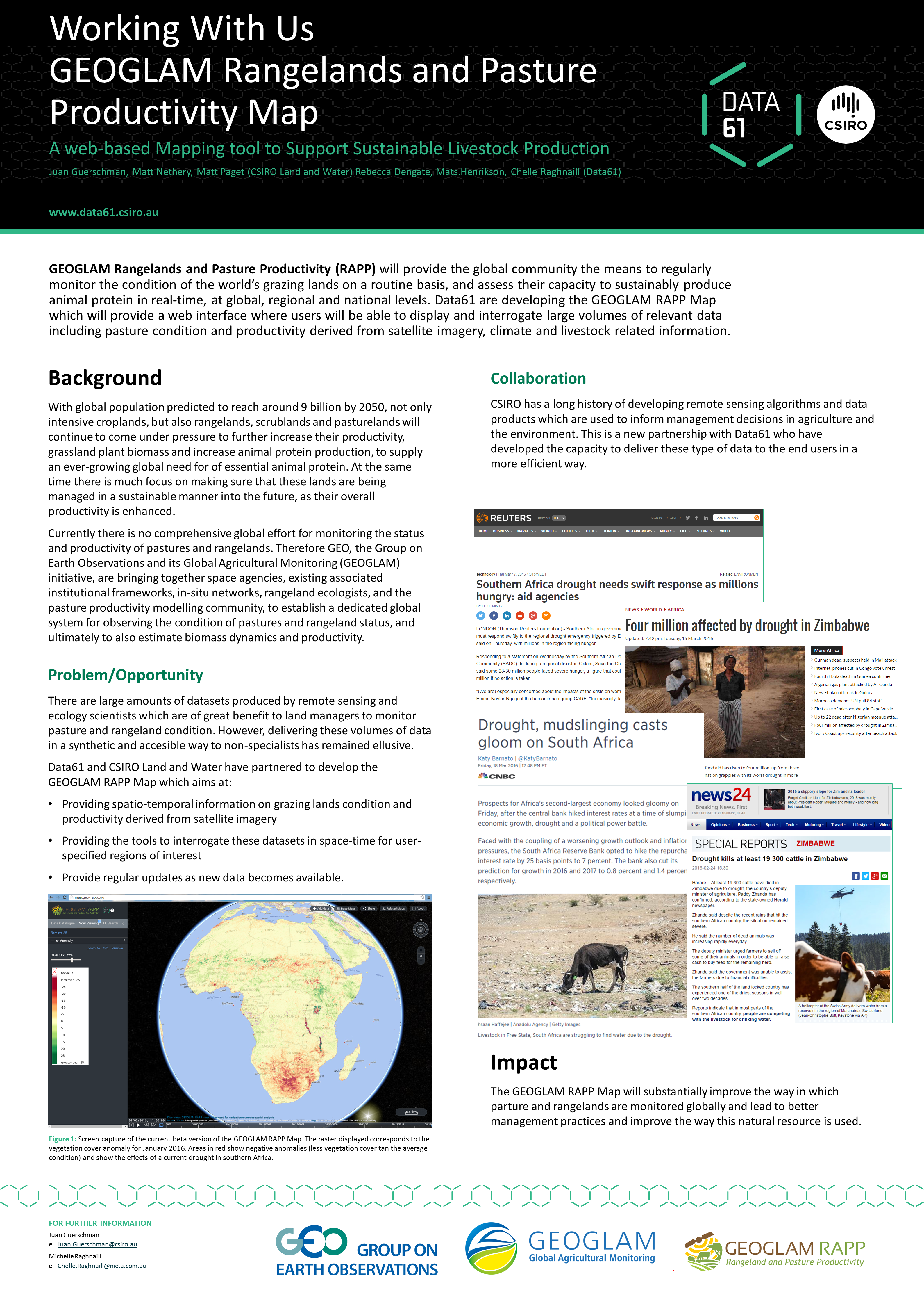
- Spatio-temporal information on grazing lands condition and productivity derived from satellite imagery
- Tools to interrogate these datasets in space-time for user-specified regions of interest
- Regular updates as new data becomes available
While it is still under development (going online soon) by CSIRO and Data61, the activity has been presented by our colleagues at Data61 + Live 2016 event, on March 30th 2016 in Sydney.
Poster about GEOGLAM RAPP Map for Data61 event